
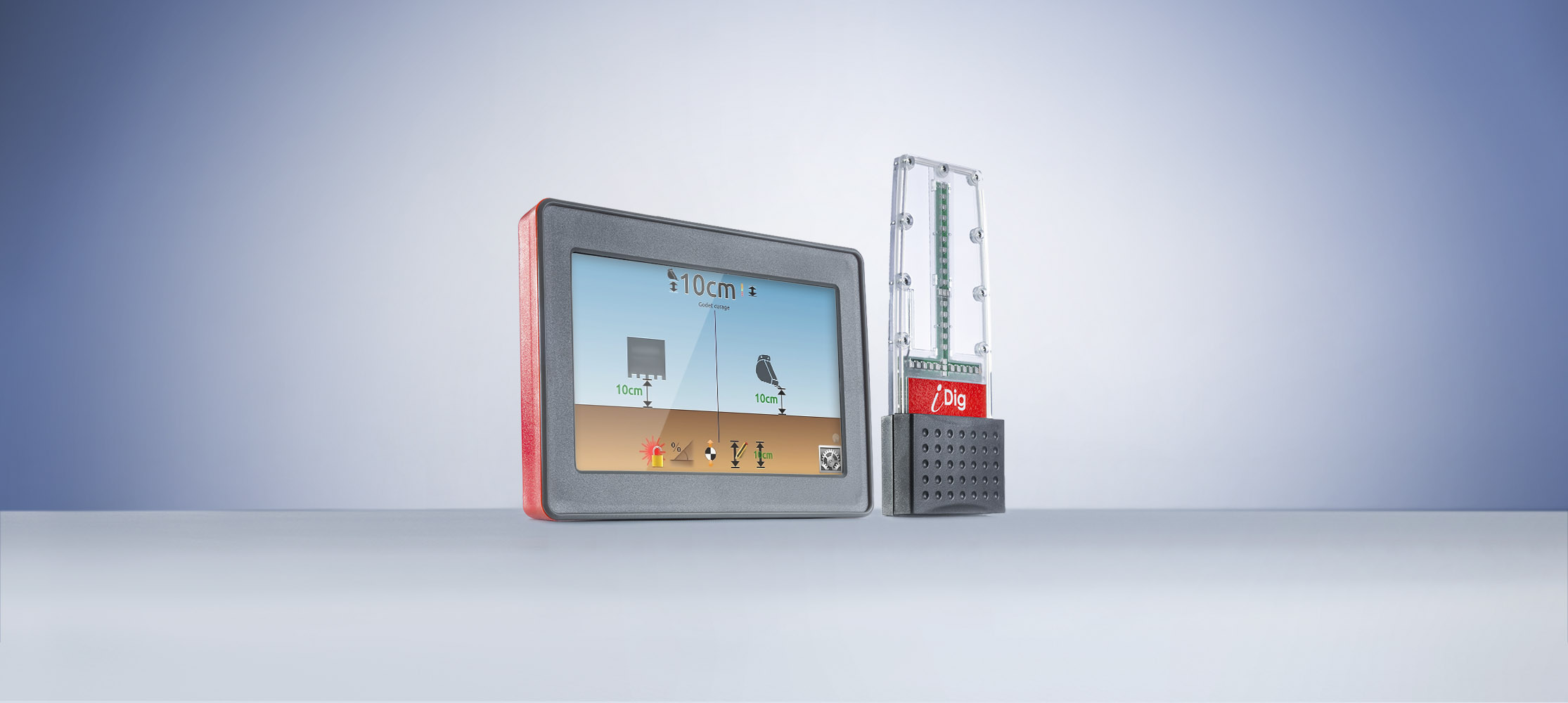
iDig
- Touch 2D
iDig
System Accuracy+ - 10 mm
Display & Interface7-inch rugged colour touchscreen with external LED lightbar graph
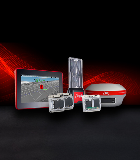
iDig / iDig
The iDig CONNECT 3D is the flagship grade-control and machine-guidance system from iDig, designed to turn conventional excavators into precision digital earthmoving machines. It combines iDig’s signature cable-free sensor technology with real-time GNSS (GPS) positioning,
Specifications may vary by configuration. Confirm your required equipment with our sales team.
iDig
iDig
System Accuracy+ - 10 mm
Display & Interface7-inch rugged colour touchscreen with external LED lightbar graph
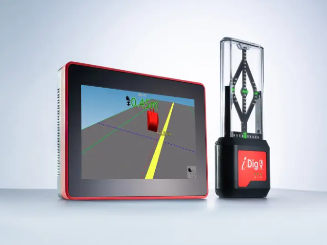
iDig
iDig
System Accuracy+ - 10 mm
Display & InterfaceUpgraded dual-core 7-inch high-brightness color touchscreen